Greetings!
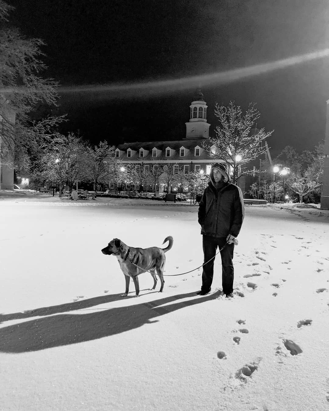
My name is Nathaniel Deaton and this is my dog, Cassander.
Just a few years ago, I developed a serious passion to learn tools behind the mapped data environment. Once I realized how much data freely roams around the web, I decided to hone my skills in the craft of cartography, a form of bridging data with information.
After completing my M.A. in Archaeology from Tel Aviv University, I returned to the United States and worked as a GIS Analyst for various companies and organizations. My work for them included making static maps, QC of Google Earth raster imagery, and data modeling for viewshed analyses on transmission lines and other utilities. I'm currently finishing an M.Sc in Digital Cartography from the University of Kentucky where I hope to complete my thesis research in the Fall of 2022.
Since I've started this journey, I've only become more interested in creating these bridges. By shining a prism on data, I hope to shed light on information, our best resource for decision-making. Please feel free to contact me if you're reading the map upside down, or if you've got a project in mind that could use a good map. You can find me on Github, LinkedIn, and Twitter.
When I'm not staring into the abyss of shiny geo-pixels, you'll find me out on my bicycle, providing holes for perennials and vegetables, or in the woods taking caterpillar-snapshots.